Introduction to the Database

Digital world is characterized by the ease of collecting electronic data but also by the difficulty of managing this information and tracing it back after longer time. Therefore, the issue of control and data management becomes of major importance. The creation of complex electronic data banks that function as digital inventories is a way to systematically record and organize vast flows of information. Having that in mind, the RWTH Aachen Center of Documentation and Conservation (RWTHacdc) and the Research Centre Indian Ocean (RIO) in Muscat under the guidance of Professor Michael Jansen have developed, over the last decade, a comprehensive methodology for a time and cost efficient recording of historic monuments and sites.
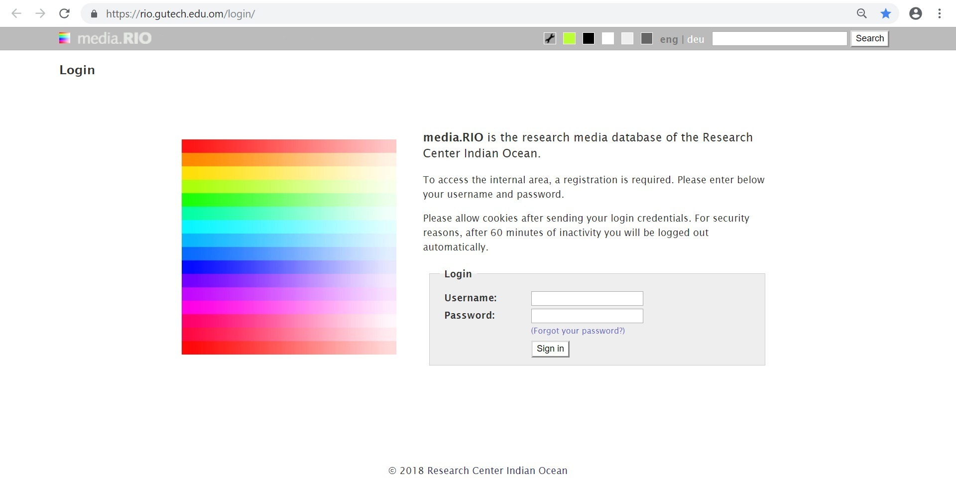
media.RIO database is the result of this effort. It is an attempt to create national inventories in order to record and assist the study of the settlement history of countries as a basis for further research on architecture and settlement typologies. In order to do so, a new technique has been introduced enabling a detailed documentation that includes maps, photographs and additional texts for planning conservation or restoration activities. It consists of an open text structure and GPS based photography, allowing to trace back each photo immediately. Such an information system is able to give information about a site’s specific location, its history and its properties.
The documentation is done by a field team equipped with GPS enabled photographic cameras (nowadays even smartphones). Digital images are captured directly with geographic coordinates stored into the metadata of the digital file. These geo-coded images are then uploaded to the database, automatically processed and appear on their correct geographic location when displayed onto an electronic map. The truthfulness of the recorded geo-location with the reality on the ground is based on the strength of the GPS signal during recording time (5-15m), but it can be adjusted manually if required during post processing. The work of the field team unit is supported by an off-site team unit with access to internet, coordinating the schedule for monitoring and reporting, validation of field data and database handling.
The database itself structures the storing of the digital objects (photographs, sketches) and their features (geographic coordinates, editor etc.) in different sizes and formats, as well as the relation between these objects (e.g. the relation with other monuments or publications). This process is enhanced by the consistent utilisation of unique Uniform Resource Locators (URL) for all datasets, which simplifies the flexible interrelation of single datasets within the database – as well as with external sources.
The system was primarily designed to register and collect dispersed information on cultural and historic sites. Based on an analysis of requirements the system can be developed further to address user needs from four different angles: a) government and administration, such as in the tourism or heritage sector, b) research sector, with national and international academics in different countries, c) preservation sector, such as engineers and planners in the cultural heritage conservation field and, d) the general interested public domain.
This method of site documentation has been initially explored for documenting the condition of historic sites in Afghanistan after more than two decades of military unrest and more recently for the Central Cultural Authority of the Province of Sindh in Pakistan in order to build up a complete inventory of protected monuments and sites. Nowadays, an ongoing research by Research Centre Indian Ocean – RIO aims at creating a national inventory of architectural sites in Oman.
media.RIO created by https://www.koenige.org/en/


